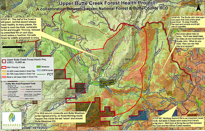
The Dixie Fire burned nearly a million acres starting in Butte County and roaring up the Feather River into Plumas County and on into Lassen National Park.The fire flanked into the High Lakes, skirted Philbrook and Round Valley Reservoirs in the West Branch of the Feather and slopped over in to upper Butte Creek around Humbug Summit. The fire ultimately burned over 3,000 acres of Butte Creek, and tributaries, Jones, Willow, Butte and Scotts John Creeks. The Butte County Resource Conservation District has received funding from the Sierra Nevada Conservancy to do a 20,000 acre forest health project on Upper Butte Creek and the many tributaries in the Butte Meadows and Jonesville area.
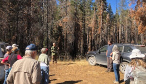
In September 2023 the RCD staff conducted a field tour of the three watersheds most affected.
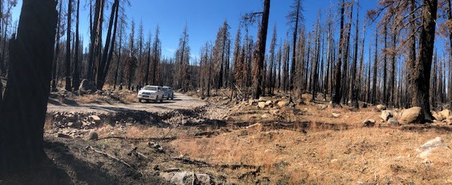
The fire slowed and was controlled as it entered the Scotts John watershed but burned with high severity in Upper Butte Creek and Willow Creek. Serious erosion potential exists in many places and higher turbidity was observed all summer in lower Butte Creek. There is great concern for the recently laid salmon eggs deep in the gravels. Sediment on top of the redds could suffocate the entire run. Discussions are underway to try and prevent a disaster. Heavy rain will be a problem. What we need is a snow layer to protect the soil. Stay tuned as we pursue options to slow down the potential erosion. Thanks to the RCD staff, Wolfy Rougle and Thad Walker, Cameron and Kimberly for the very informative field trip. Over thirty people from agencies, local residents and other interested parties attended the event.

See the map below or contact the RCD for more information.


